What is this challenge about?
The participants are presented with a 2D section of the map of Luxembourg. They have to find and mark the point on the map where it can be balanced on a stick: this is the barycenter (also known as the center of gravity, center of mass or geographical center) of the map.
It is easy to find the center of gravity of a simple geometric shape (square or circle, for example, because the center of gravity is exactly in the middle or where the diagonals of the square meet) - but it is much more difficult when the shape is as complex as a map.
Do you want to try it too?
Here is a link to a map that you can print out and cut out yourself:
Infobox
There are various methods for finding the center of a complex shape.
- You can hang the map and draw a line on the axis of the suspension. Do this with at least two different points. The point at which two lines intersect is the correct answer.
- You can balance the map on the edge of the table. Once you have found the balance position, you can draw a line along the edge of the table. This process must be repeated at least once: the intersection of the two lines marks the center of the shape.
- You can try to balance the map on one finger and hope that you find the right point. However, this only works with small shapes!
Methods 2 and 3 only work if the map is made of a hard material such as cardboard, not normal printer paper. So the candidates actually had it a little easier than you!
Solution: The barycenter of the Luxembourg map is located in the village of Pettingen (Pëtten).
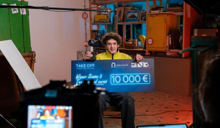
Do you want to know how the contestants from the show mastered this challenge?
Then take a look at episode no. 6! (will be released on February 9th)
What is the scientific background to this challenge?
The barycentre, also known as the center of gravity, is the point at which an object could theoretically be kept in balance if it were suspended from this point. It is therefore the point at which the entire mass of the object is evenly distributed. This is why balancing the map on one finger works.
The term geographical center has no clear definition, as there are too many different methods of measurement, with different results. For example, do you take the natural boundaries into account when measuring? The earth's radius and curvature? Nevertheless, the geographical center is celebrated in many countries, e.g. with a statue or a small monument. The geographical center of Europe is located in the village of Purnuškės, in Lithuania, in the middle of a Europapark. (Strictly speaking, the centre is located in the forest approx. 762 m south-southwest of the Europapark and 180 km below the earth's surface).
There are many ways to find the center of mass of objects. For example, one can try to take into account the average distance to all other points within the shape, which is a complex process that requires many computational resources and is usually solved by computers. Nevertheless, this is a center that is sometimes also used as the center of a country.
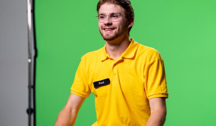
A few impressions from the 6th episode


Author: Diane Bertel
Editor: Lucie Zeches (FNR)
Photos: Emmanuel Claude